Day 1 Vélan Hut 2642m
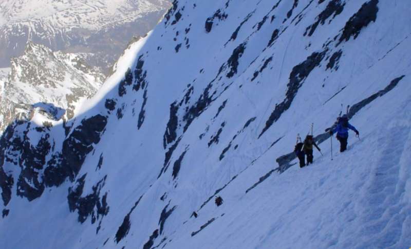
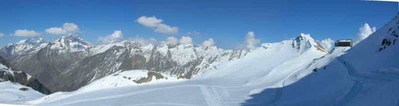
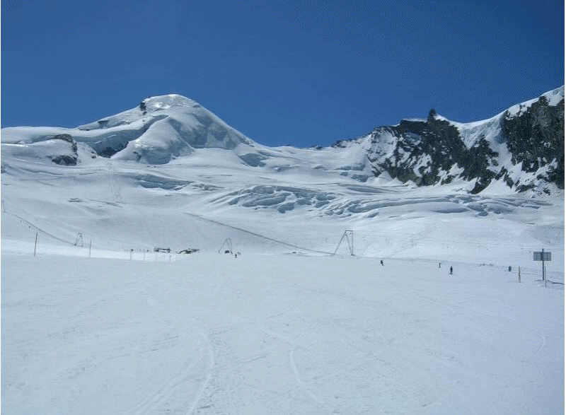
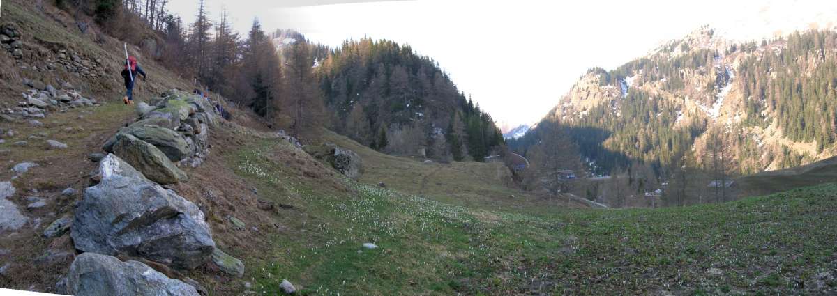 Where is the snow? Click to enlarge |
 Valen hut. Click to enlarge |
|
We eased ourselves in over the first two days to help our acclimatised. The first night spent at the Vélan Hut 2642m. The snow level was about 2300m and therefore we had to walk for the first few hours before we could start skinning. We took a round about route to the hut to minimise the risk of avalanche from the now wet snow. We arrived 1400. The rebuilt hut was nice and had indoor loos but only an intermittent trickle of water for washing. 5k, 800m up, 5hr |
|
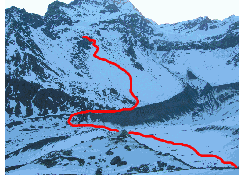
 Click to animate route. |
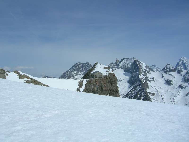
 Valsorey hut. Click to enlarge |
|
|
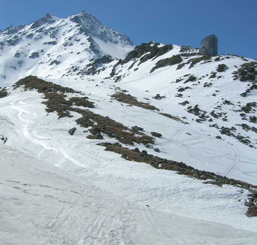
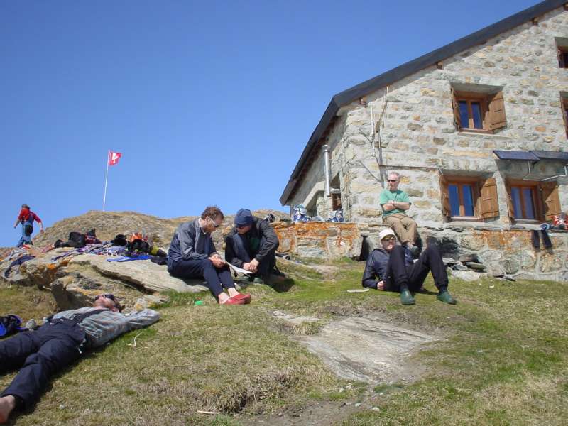
This day was a short one, we arrived at the hut at 1030. After lunch we brushed up on our transceiver search and crevasse rescue techniques. Roger encountered his second bit of bad luck here: having lost his mobile the night we arrived, his transceiver now packed up. It made us wonder if the group kit should include a spare transceiver. As the avalanche risk was low (grade 1) especially early morning and there after we were traveling on well-skied, low angle, relatively safe slopes, we decided to continue to the Vignettes hut to obtain a replacement transceiver. The hut has an outside "long drop" which is short and smells, sitting in the sun outside the hut was not a peasant expedience, there is no water for washing. 3k, 600m up, 3hr |
||
Day 3 Chanrion Hut 2482m
 Route up |
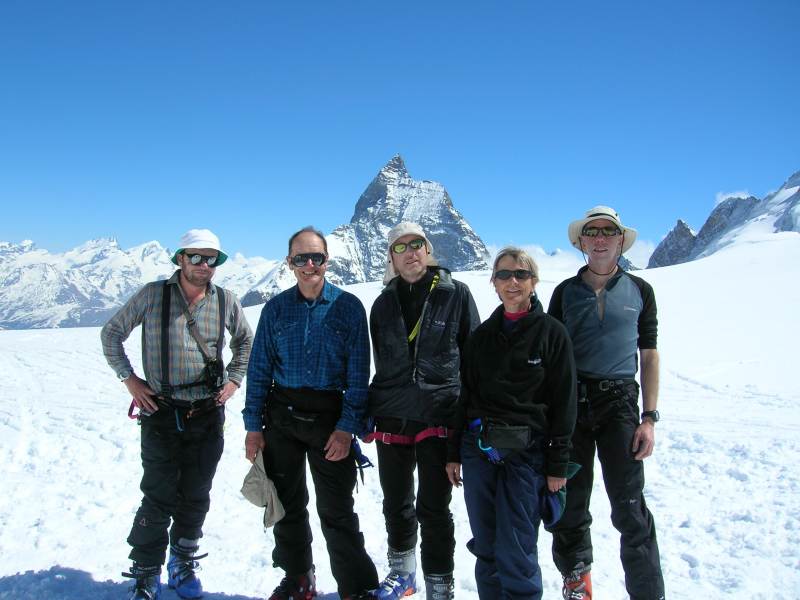
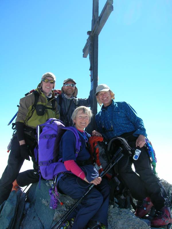
 Mont Blanc in back ground |
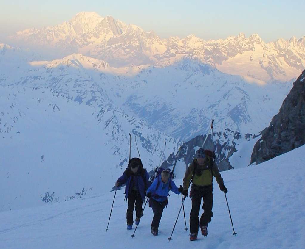
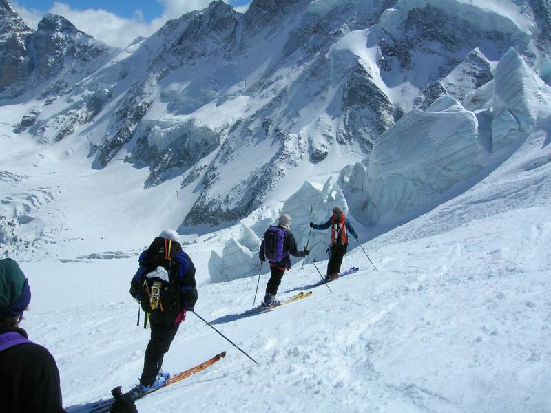
 Team on Plateau du Couloir |
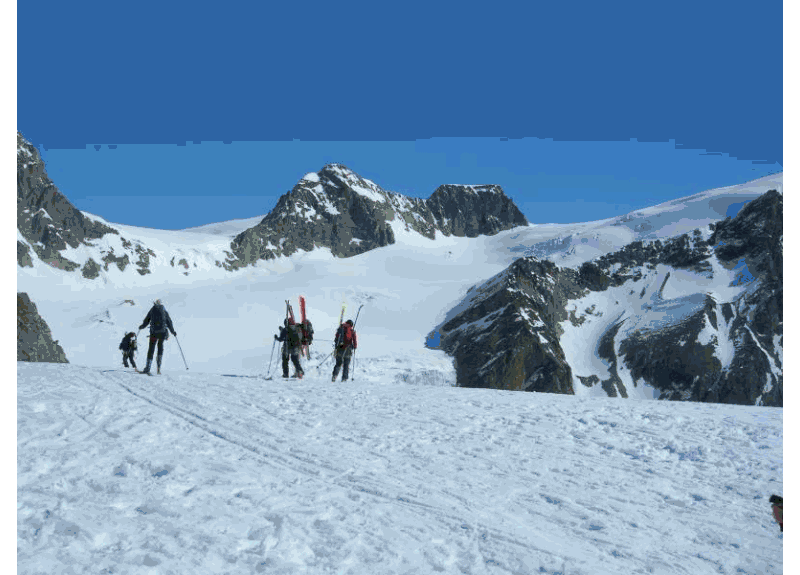
 Decent route |
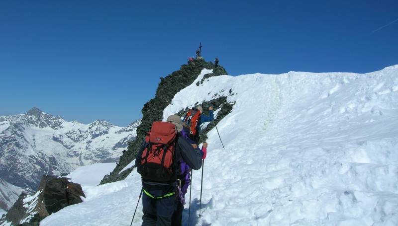
 Steep bit before the top |
 Soaking up the rays at Chanrion |
|
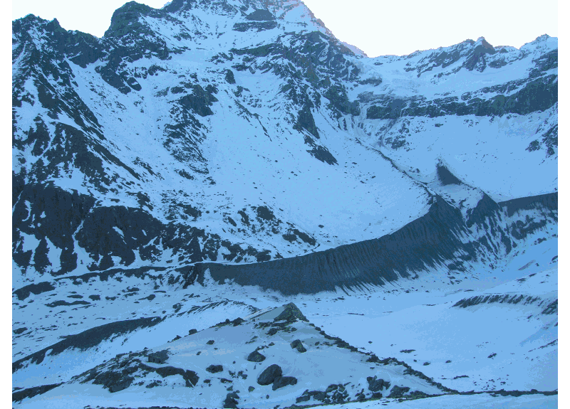
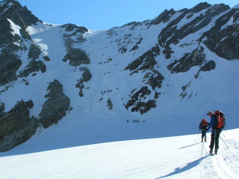
We climbed on foot all the way up the steep icy 600m slope to the Plateau du Couloir, then had some pleasant skiing down before nearly missing the critical 2700m point where the trail contours round to the east; there was some uphill here but it didn't warrant skinning, then down to the valley and a shortish skin up to the Chanrion Hut reaching it by 1330, a very pleasant afternoon was spent laying in the sun. A nice hut with indoor loos and running drinking water. 12k, 800m up, 6hr |
||
|
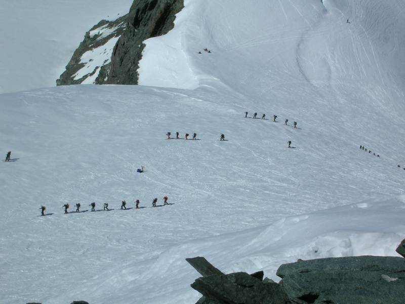
Day 4 Vignettes hut 3194m Most of us felt the effects of the long slog up the Otemma Glacier by the time we got to the Vignettes hut this day. Roger managed to borrow a transceiver here from a father and son team we had met on the circuit, as they were finishing their tour. Pleasant enough hut inside but no room to sit outside, loos are a long drops (really long) and a good way from hut. No water for washing. 11k, 1000m up, 7 hr |
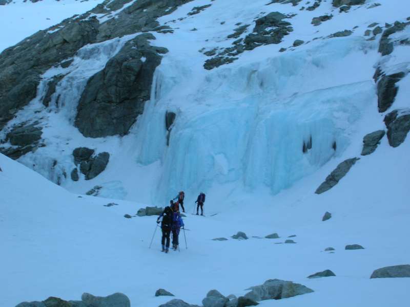 Ice fall rounding corner to Otemma Glacier. Click to enlarge |
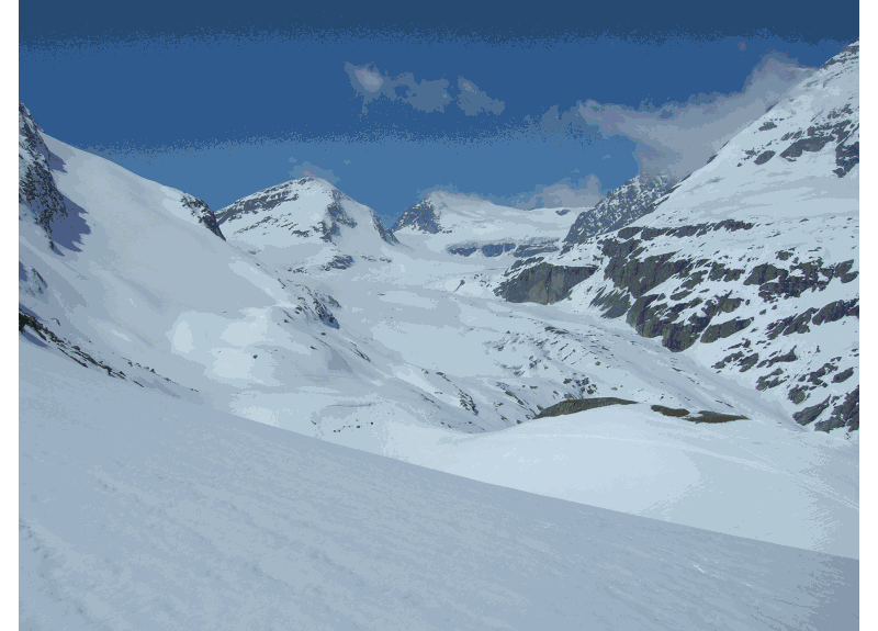
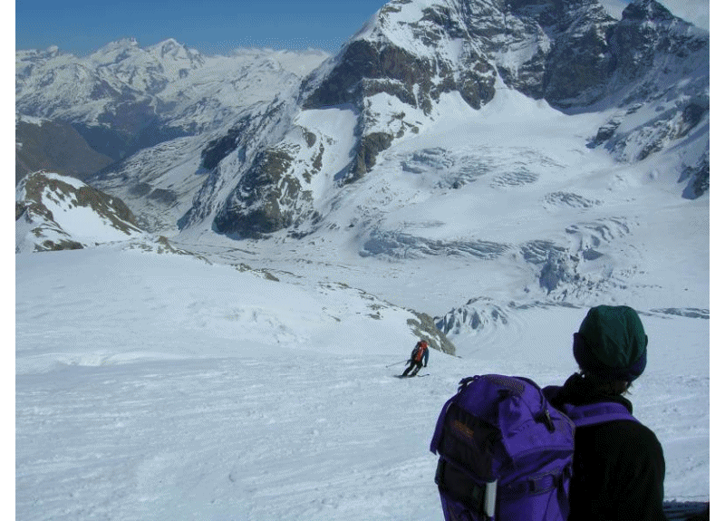
 Start of the Otemma Glacier |
 Vignettes hut. Click to enlarge |
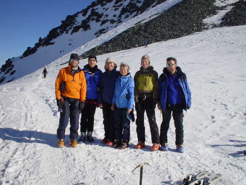
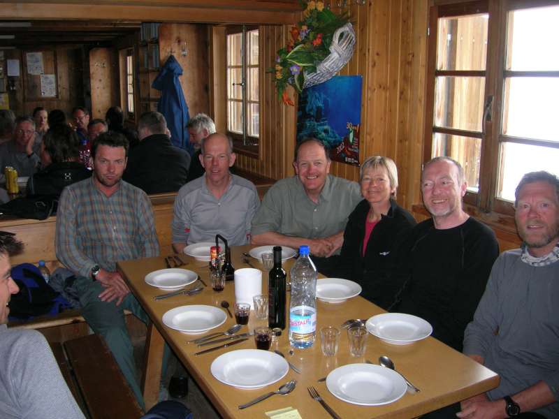 The team ready for dinner |
|
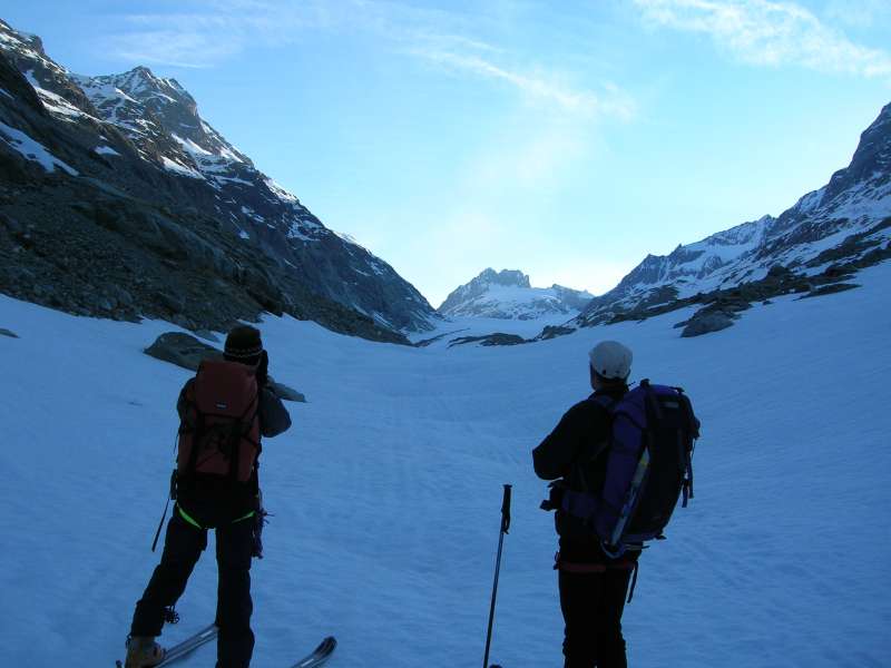
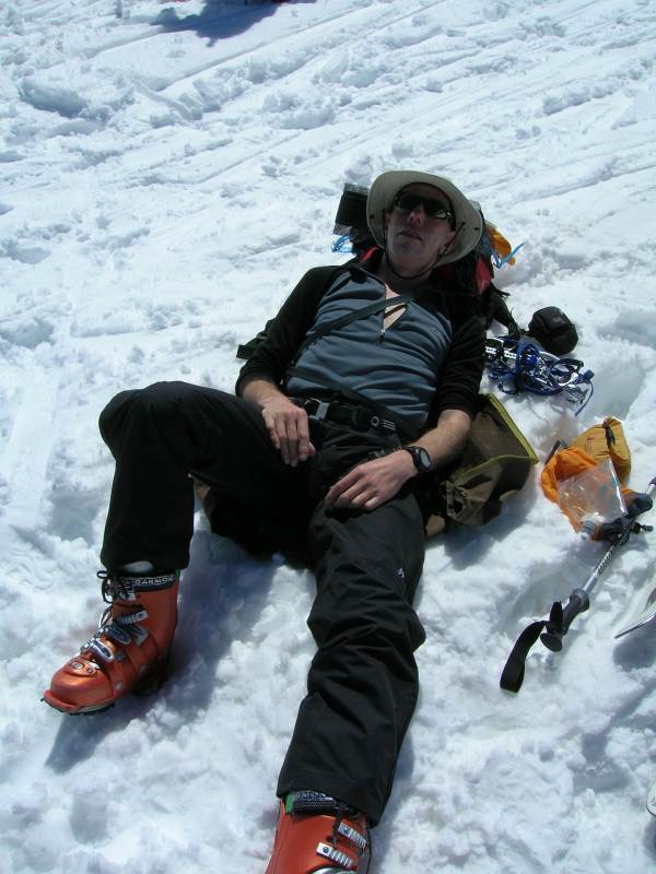
Day 5 Barnhoff (Zermatt) 1600m After the previous day's experience, we worked out a detailed route plan and agreed to rest more. Good time was made and some great skiing until, on the 450m ascent over 3km to the final Col de Valpelline 3562m, the relentless mid-day sun and 26°C heat slowed us all down. I had picked up a cold on the plane out and was having difficulty breathing as a result of the cold now being on my chest, the heat and the altitude. We arrived at the col at 13:15, 30 minutes behind schedule, but made time for a good rest and I had some more medication. I soon recovered enough for a fantastic ski down until reaching the crevassed ice fall area below Stockji, where a safe route was found close into the rock on the left. It is also worth noting that older maps show the trail from here on the north side of the Zmutt Glacier, whereas the only viable route was on the south side, as shown on the latest maps. On reaching the road we made the 10 minute walk (no snow!) to the piste and the Stafelalp refuge, where we of course found time for a beer. Roger had his third bit of bad luck during this section and broke a ski. After a welcome shower in the Bahnhof Hotel at Zermatt, we had
long discussions over dinner about what to do the next day. No-one
wanted another long hot trudge to the Britannia hut. Using the train
and lifts to Stockhorn meant we would not start skiing until after
0900 and not likely to arrive before 1600 and have to climb up the
Adlerpass mid day. 30k, 1300m up, 11.5hr |
 Nearing climb up the Col du M Brule |
 An exhausted me on col de Valpelline |
 Team on col de Valpellin |
 Negotiating the seracs on the Stockji glacier |
|
 Animate route, Col du M Brule - Col de Valpellin |
 Animate route; Decent to Zermatt |
|
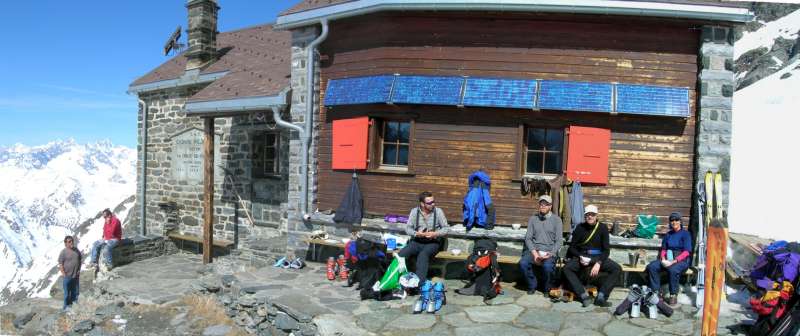
Day 6 Britannia Hut 3030m Paul left us at this point as he was driving home, but kindly lent
Roger his skis. |
 Britannia hut |
|
Day 7 Allalinhorn 4027m then Brigg On our final tour day we caught the first "Metro Alpin" at 0845 to 3500m and left all our non-essential kit in a locker at the top, which only cost 2CHF. We made steady progress up the Allalinhorn 4027m, topped out at 1120, third group that day, we were treated to fantastic views. We made it back to our skis from the summit just before the hoards arrived. Then a great 2200m ski all the way down to Saas Fee, were we caught the bus to Brigg, picking up our bags there, that we had sent on ahead from Martigny. Tom went off to see friends in Geneva and the four remaining went our separate ways in the morning but not before having had an enjoyable meal sat outside in the evening sunshine.
12kk, 600m up, 6hr |
|
 Nearing the top |
 On top |
 The hoards approach |
Guidbooks used Peter Cliff & Bill O'Connor. Maps used 1:50000 Carte Nationale de la Suisse.
Cost; this worked out to be considerably less than previouse years mainly due to no guides, total came to just over £500, which included flight, trains and bus to £200.